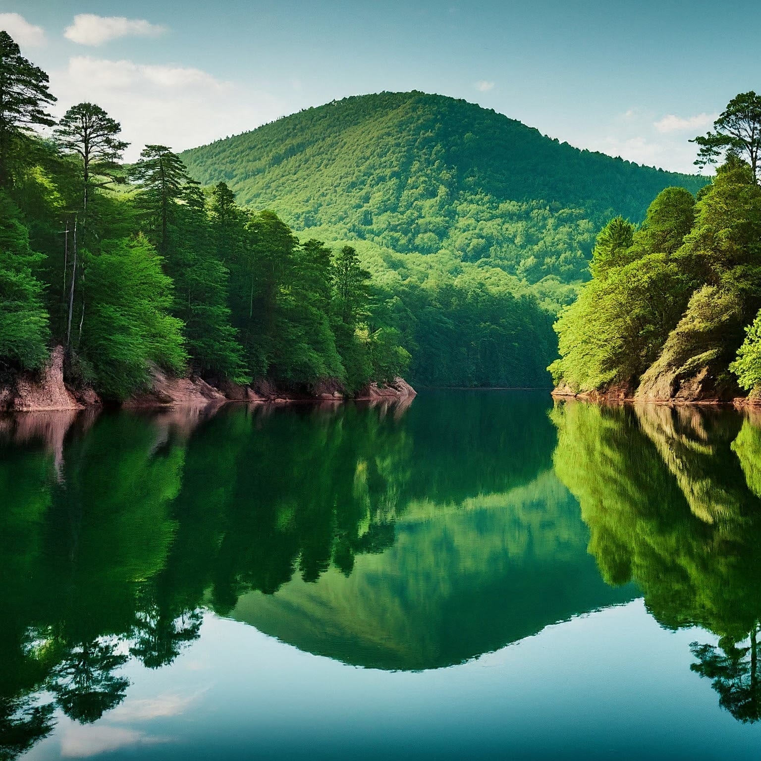
Tallulah Falls Lake is a 63-acre reservoir with 3.6 miles of shoreline located in the northeastern corner of Georgia, in Rabun County. It is the fourth and smallest lake in a six-lake series created by hydroelectric dams operated by Georgia Power that follows the original course of the Tallulah River. The series starts upstream on the Tallulah River with Lake Burton followed by Lake Seed, Lake Rabun, Tallulah Falls Lake, Lake Tugalo, and Lake Yonah. Georgia Power considers the lake full at a surface elevation of 1,500 feet (460 m).
The lake was formed in 1914 with the completion of the Tallulah Falls Dam, a concrete dam with a diversion tunnel. The diversion tunnel is 11 feet (3.4 m) wide, 14 feet (4.3 m) high, and 6,666 feet (2,032 m) long and was tunneled through solid rock and then lined with concrete. The dam is 126 feet (38 m) high and has a span of 426 feet (130 m). The Tallulah Falls Hydroelectric Plant is located 608 feet (185 m) lower than the dam at the lower end of the tunnel and has a generation capacity of 72,000 kilowatts.
Tallulah Falls Lake is part of Tallulah Gorge State Park and is a popular destination for fishing, boating, swimming, and picnicking. There is a public dock on River Street for fishing and picnicking, as well as a fishing pier at the Terrora Day Use Area of Tallulah Gorge State Park. The park also offers a variety of hiking trails, waterfalls, and scenic overlooks.